Introduction
This is the second in a series of posts, where I record my visits to the classic ‘Seven Hills of Edinburgh’. Please use the tag ‘Edinburgh’s 7 Hills’ to pull these posts together as a group, as they are not being created consecutively. Today’s objective is Blackford Hill, once again on Edinburgh’s south side. A number of nearby attractions are thrown in for good measure.
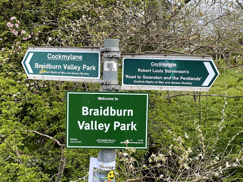
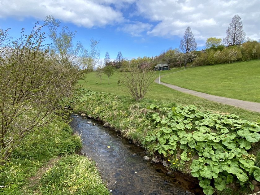
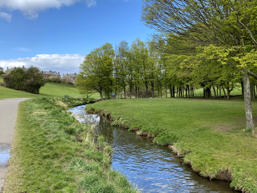
Braidburn Valley Park
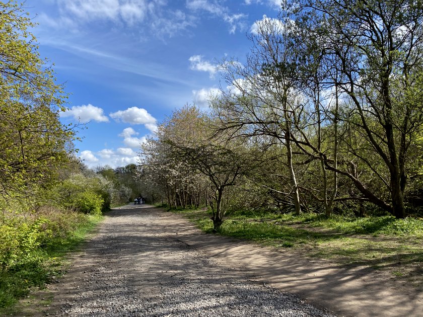
We begin in Braidburn Valley Park, which as the name suggests, is a public park through which the Braid Burn (stream) flows. It lies between Comiston and Greenbank, immediately west of the A702 – an important route into Edinburgh from the south. My walk starts at the southwestern corner and proceeds towards the diagonally opposite corner.


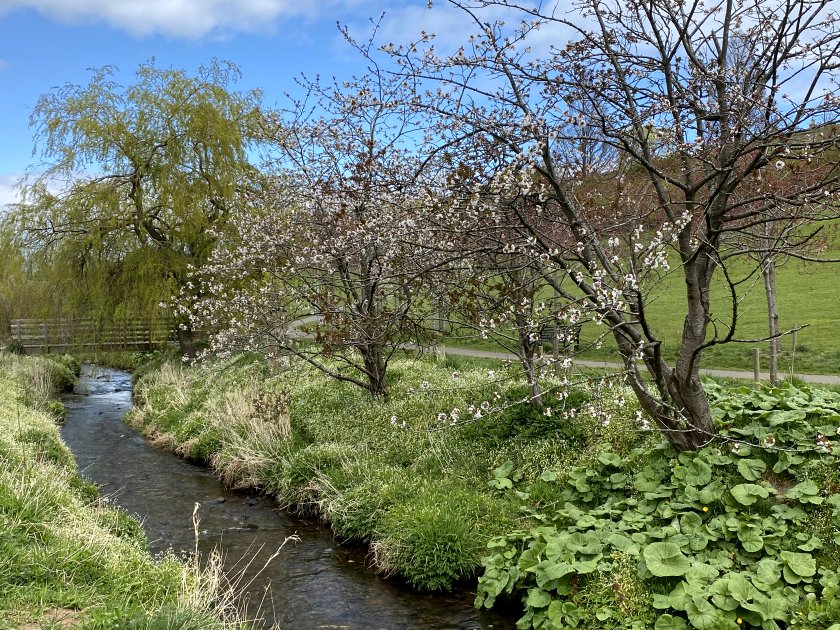
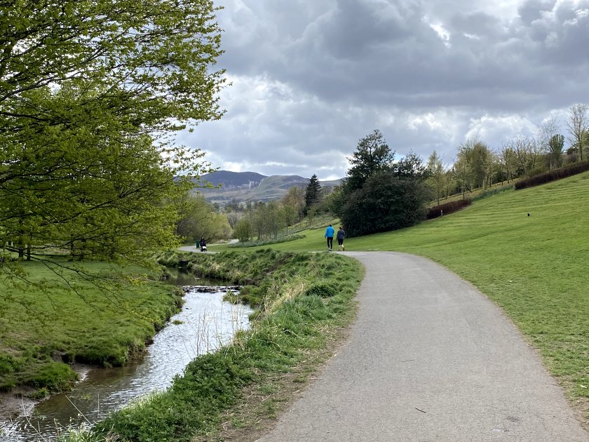
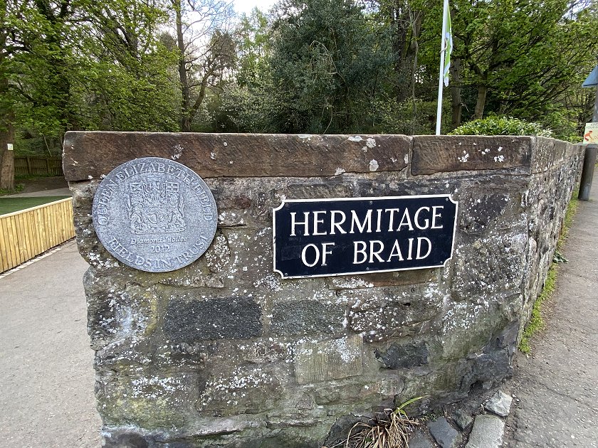
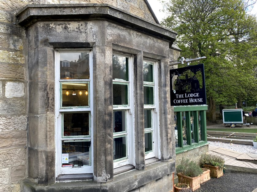
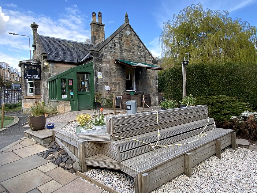
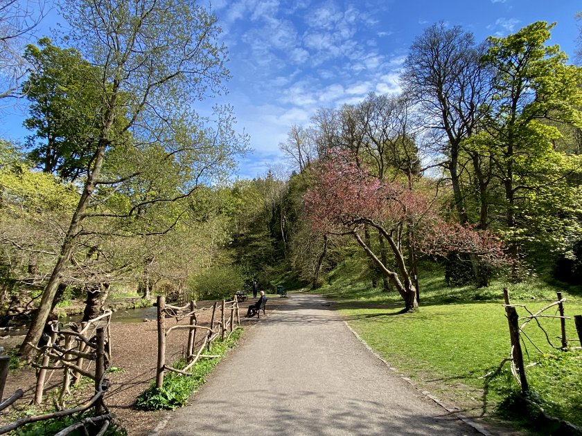
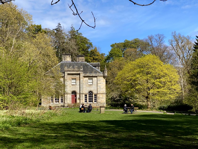
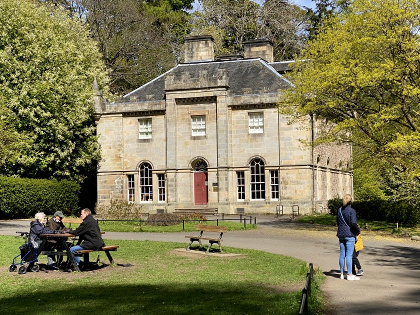
Hermitage of Braid
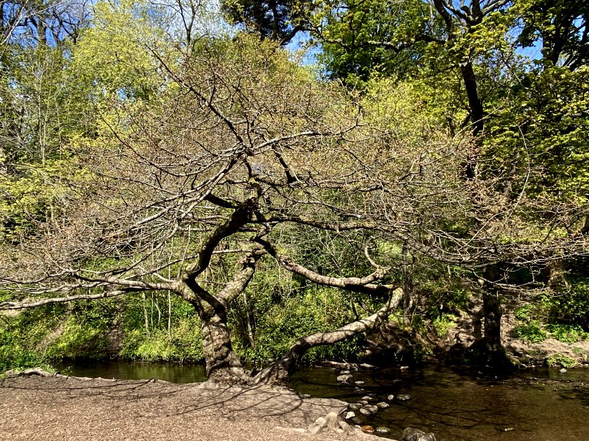
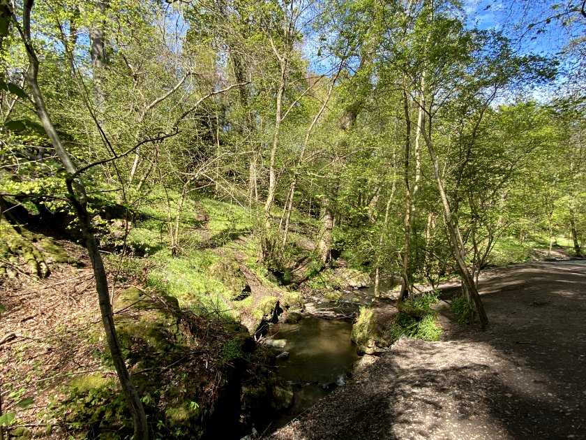
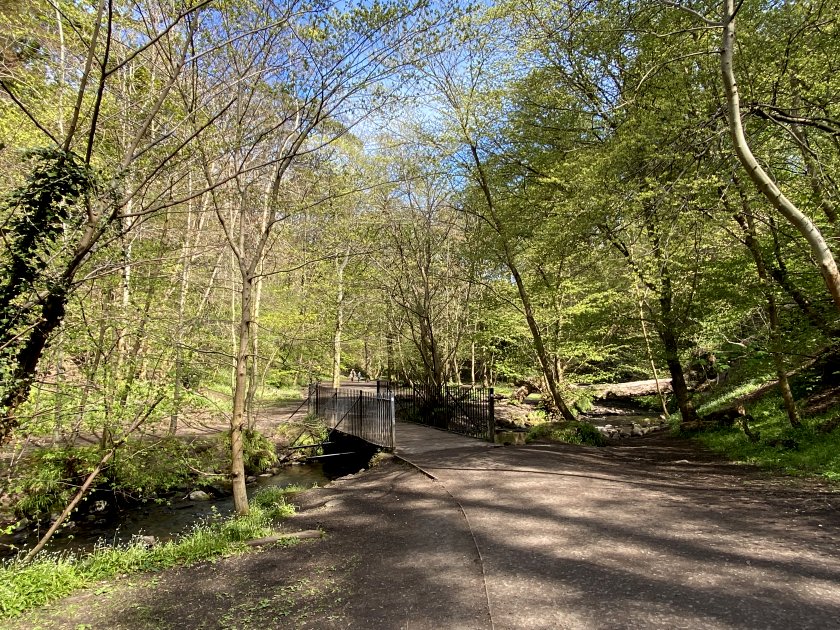
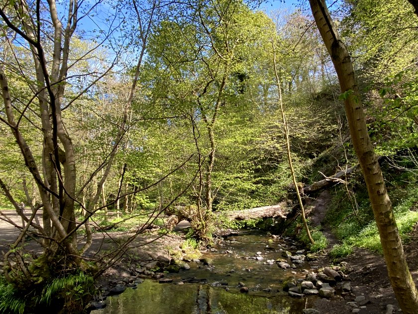
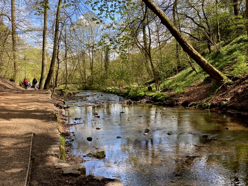
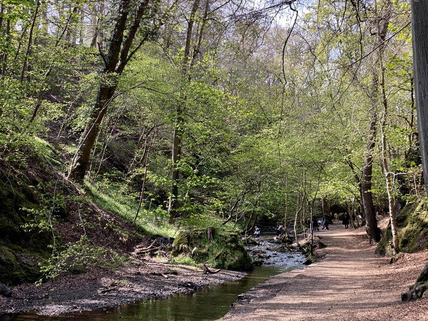
On crossing under the A702, the Braid Burn takes a sharp right to head east towards Liberton. It passes through an area known as the Hermitage of Braid, a former estate that is now publicly accessible woodland. The Hermitage lies directly between Blackford Hill (on the north side) and the Braid Hills (on the south side).


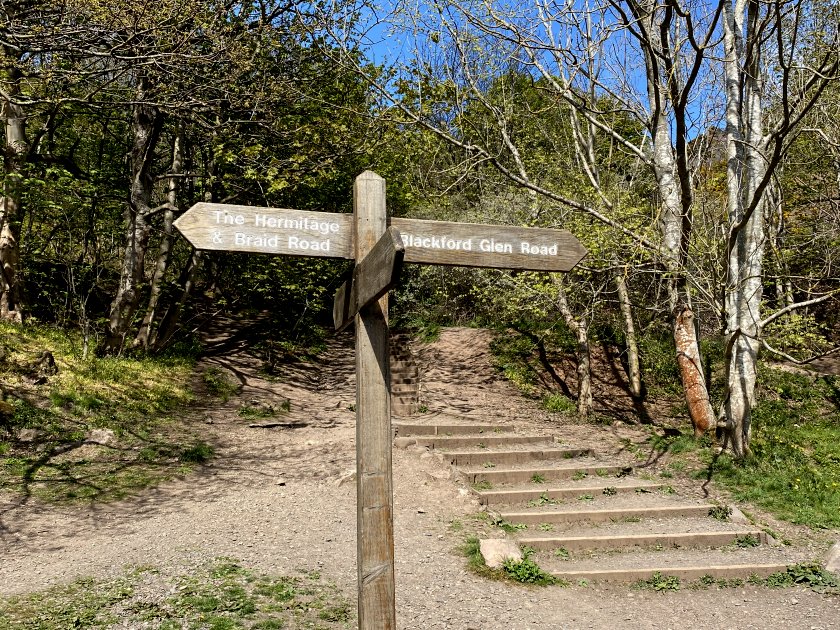
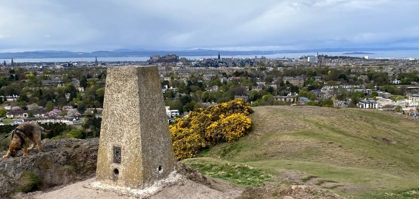
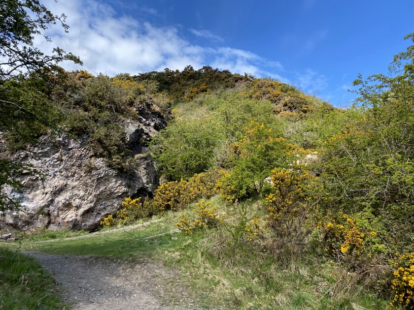
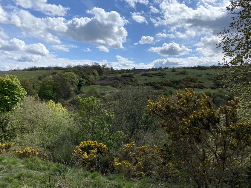
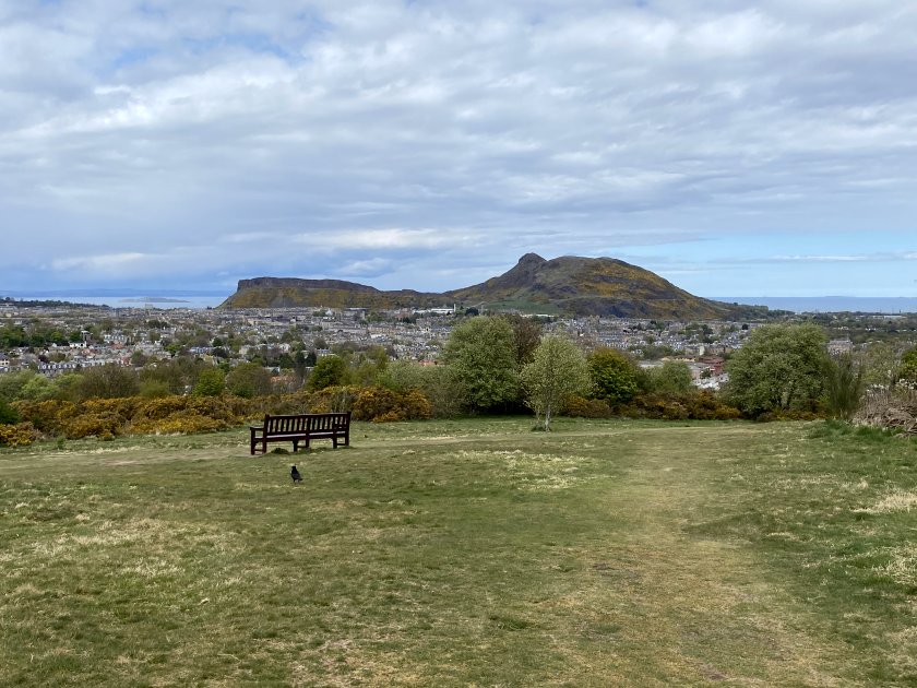
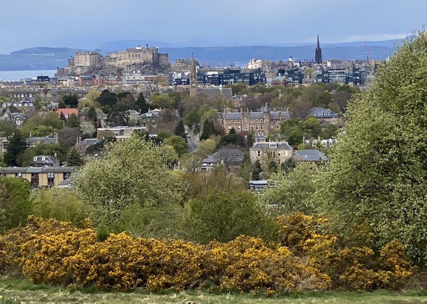
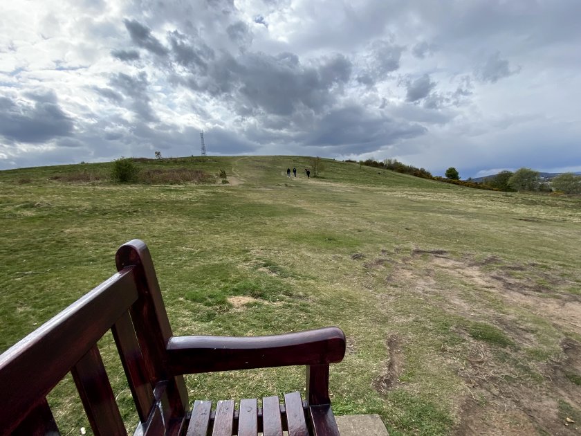
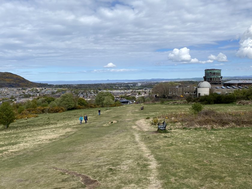
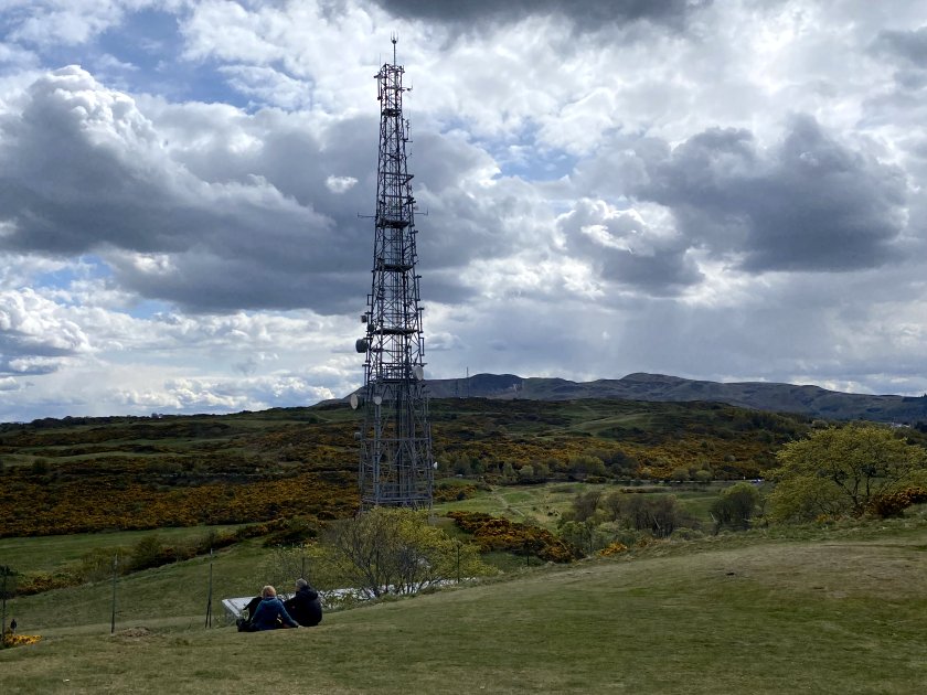
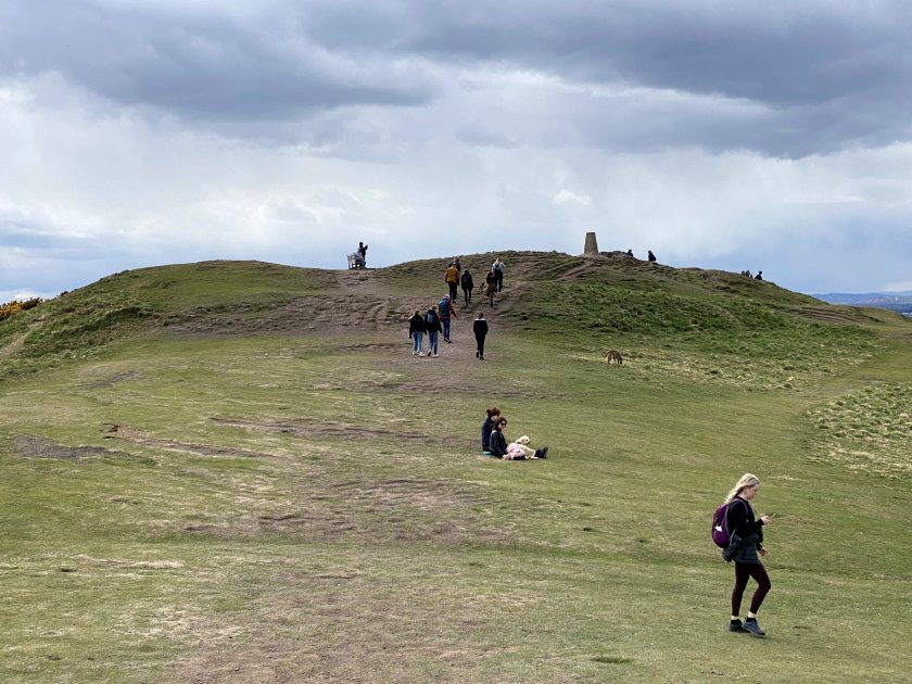
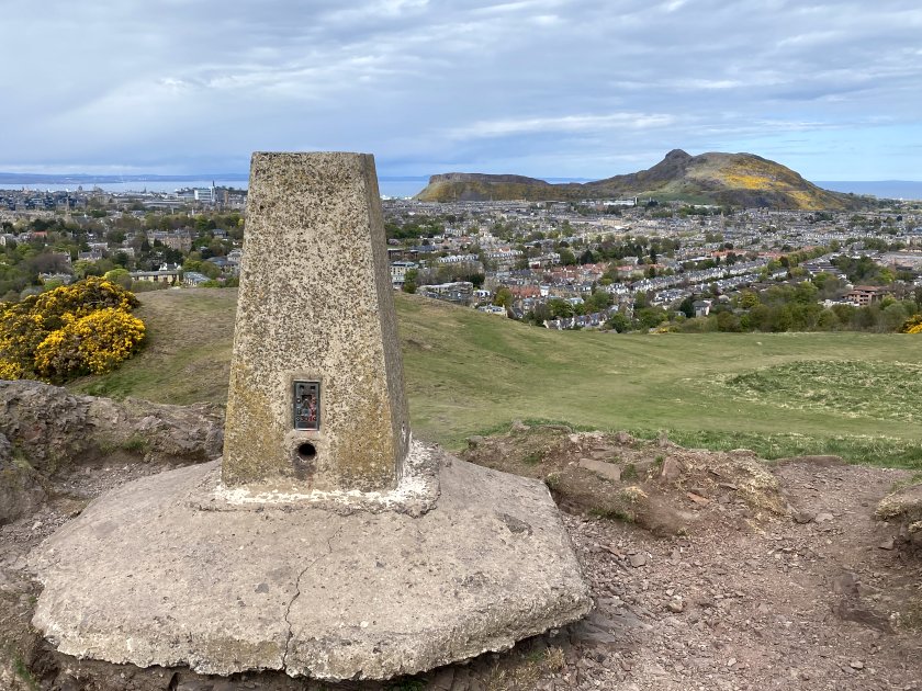
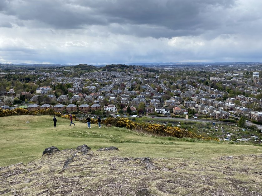
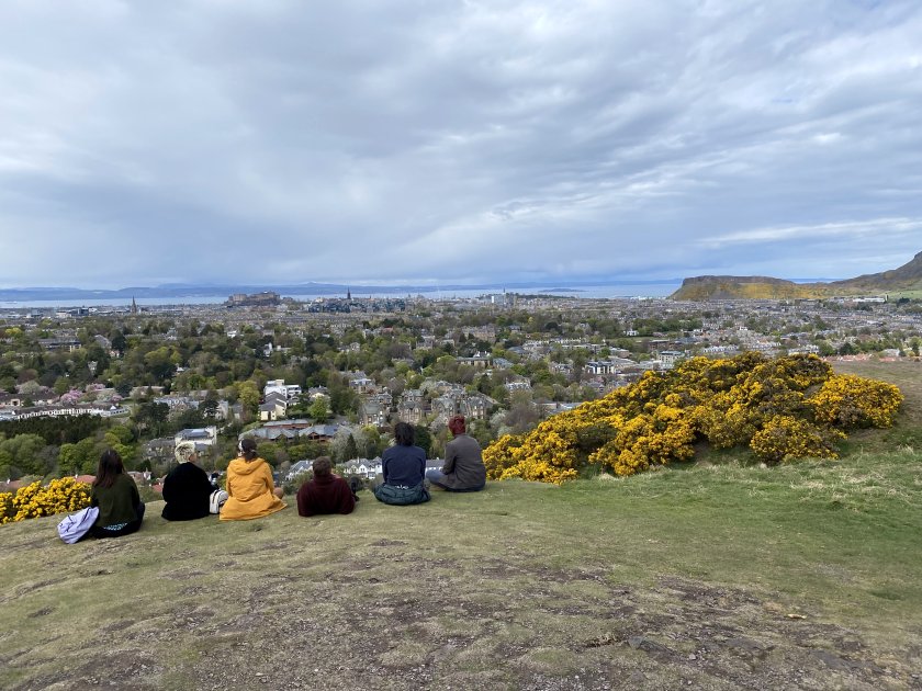
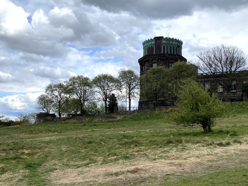
Blackford Hill
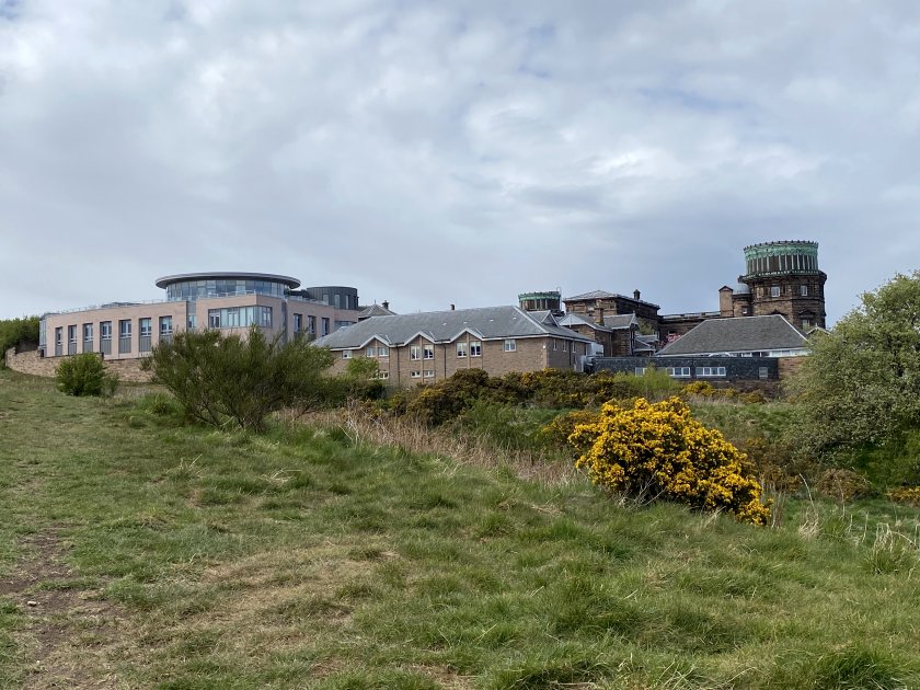
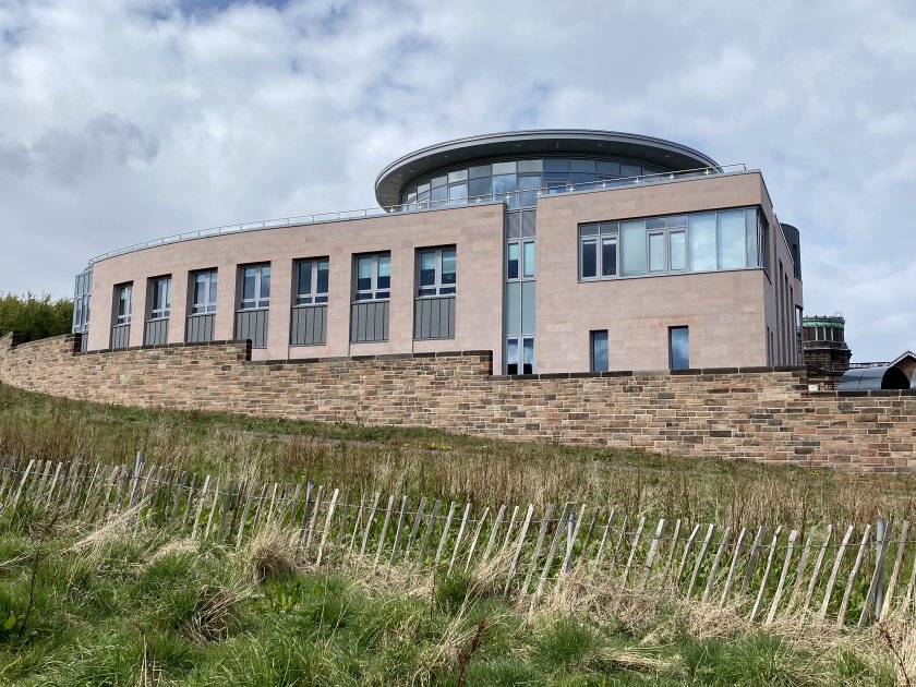
Soon enough, it was time to turn left and ascend the south face of Blackford Hill, something that I’d done several times before. As usual, I chose what is probably the most easterly path, which in due course levels out close to the Royal Observatory buildings. This meant that, after a short rest, I had a bit of westbound backtracking to do in order to reach the summit, something that I was determined to do for the first time.


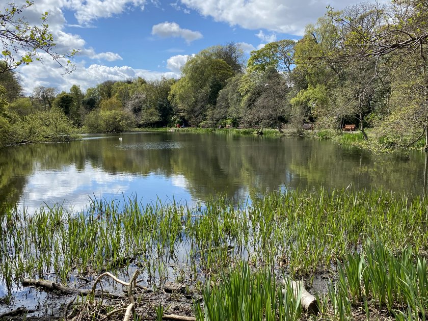
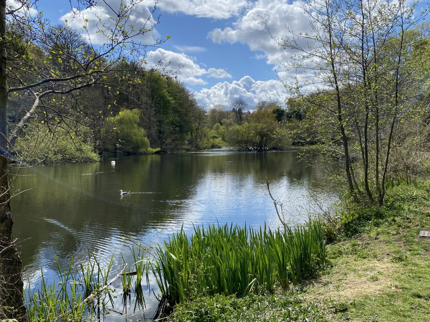
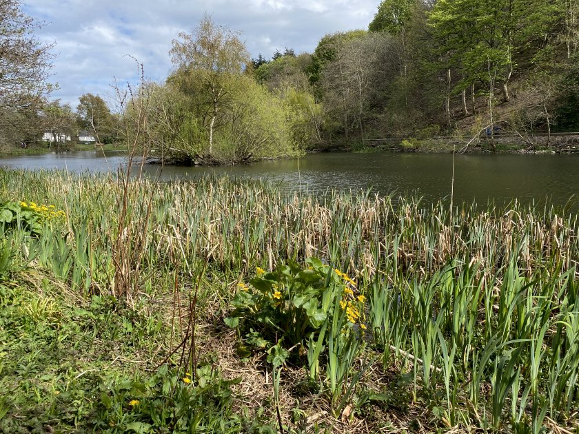
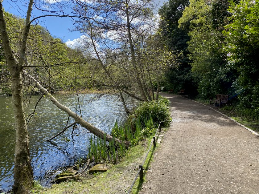
Blackford Pond
Before recording ‘mission complete’ for Blackford Hill, we take a quick look at Blackford Pond. This lies at the foot of the hill, on the north side.